Page 8 of 30
Day 6, Sunday, October 13

Day 6: I think this is Torres del Rio seen from a distance.
- Photographer: Claus Nedergaard Jacobsen
- Date Taken: 2019:10:13 08:25:45
- GPS Location: 42.5451587N, -2.287483E
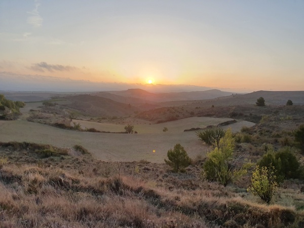
It is cold in the morning. We start out before the sun has risen. It is so wonderful when we finally get to see it. This photo is taken at 08:32 in the morning.
- Photographer: Claus Nedergaard Jacobsen
- Date Taken: 2019:10:13 08:32:11
- GPS Location: 42.5570791N, -2.2130604E
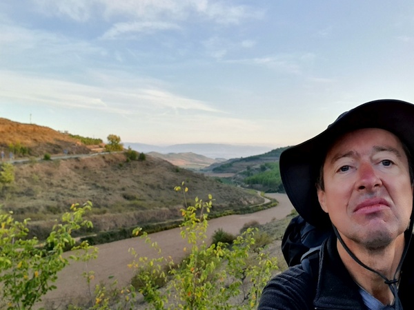
Look how the sun lightens the upper part of the landscape but it has not yet reached the lower part.
- Photographer: Claus Nedergaard Jacobsen
- Date Taken: 2019:10:13 08:45:12
- GPS Location: 42.5420604N, -2.2987509E

Elisabeth struggling with her first blisters. At this time she had already given up her boots and surrendered to sneakers. As did I for a while.
- Photographer: Claus Nedergaard Jacobsen
- Date Taken: 2019:10:13 09:38:55
- GPS Location: 42.5276188N, -2.3246746E

Entering Viana
- Photographer: Claus Nedergaard Jacobsen
- Date Taken: 2019:10:13 10:28:17
- GPS Location: 42.5172788N, -2.3544277E

Fabrizio (to the right) also entering Viana
- Photographer: Claus Nedergaard Jacobsen
- Date Taken: 2019:10:13 10:28:26
- GPS Location: 42.5172788N, -2.3544277E
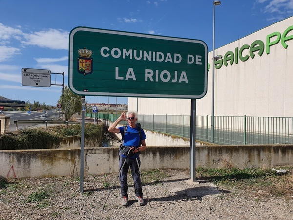
This is where we entered the Rioja district
- Photographer: Claus Nedergaard Jacobsen
- Date Taken: 2019:10:13 12:44:41
- GPS Location: 42.4909836N, -2.4166013E

This is where we entered the Rioja district
- Photographer: Claus Nedergaard Jacobsen
- Date Taken: 2019:10:13 12:45:01
- GPS Location: 42.4906169N, -2.4156178E
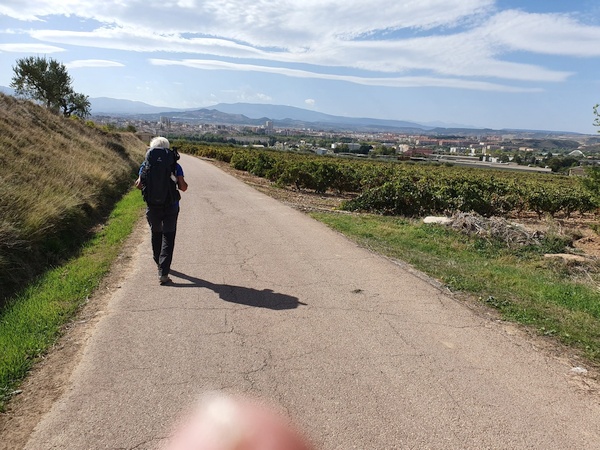
Entering Logrono. Fabrizio in front
- Photographer: Claus Nedergaard Jacobsen
- Date Taken: 2019:10:13 13:09:49
- GPS Location: 42.4824156N, -2.4342179E
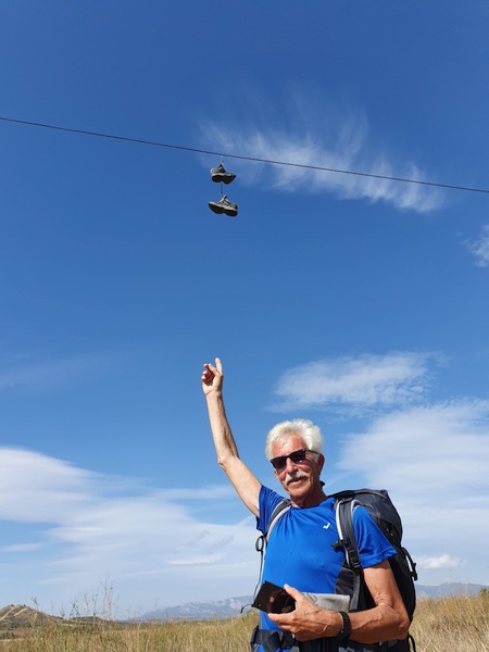
How on earth did the boots end up there?
- Photographer: Claus Nedergaard Jacobsen
- Date Taken: 2019:10:13 13:15:01
- GPS Location: 42.4789016N, -2.43635E

Puente de Piedra at the outskirts of Logrono. Crosses the river Ebro.
- Photographer: Claus Nedergaard Jacobsen
- Date Taken: 2019:10:13 13:44:23
- GPS Location: 42.4711035N, -2.4441242E

Puente de Piedra at the outskirts of Logrono. Crosses the river Ebro.
- Photographer: Claus Nedergaard Jacobsen
- Date Taken: 2019:10:13 13:44:42
- GPS Location: 42.4711035N, -2.4441242E

Misión Diocesena. Sign at church in Logrono.
- Photographer: Claus Nedergaard Jacobsen
- Date Taken: 2019:10:13 13:59:56
- GPS Location: 42.4677213N, -2.4474314E

A Church named Santiago el Real in Logrono
- Photographer: Claus Nedergaard Jacobsen
- Date Taken: 2019:10:13 14:00:41
- GPS Location: 42.4677541N, -2.4475159E
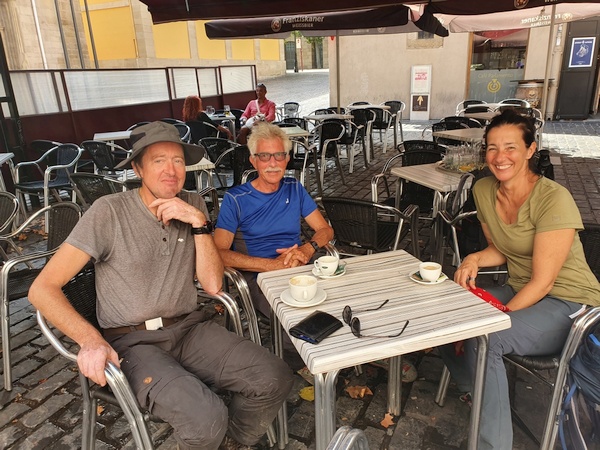
Lunch in Logrono. Elisabeth introduced us to Caña beers. Hard to beat habit.
- Photographer: Claus Nedergaard Jacobsen
- Date Taken: 2019:10:13 14:54:32
- GPS Location: 42.4668043N, -2.4492083E

Lunch in Logroño. Elisabeth introduced us to Caña beers. Hard to beat habit.
- Photographer: Claus Nedergaard Jacobsen
- Date Taken: 2019:10:13 14:54:34
- GPS Location: 42.4652087N, -2.4560557E

"The bull" located next to Highway A-12 close to Navarette. I am pretty sure, I saw it before, when I drove with my friends to fly gliders in Spain in 1988.
- Photographer: Claus Nedergaard Jacobsen
- Date Taken: 2019:10:13 17:06:25
- GPS Location: 42.4388242N, -2.5324451E
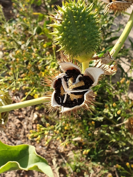
Botanique
- Photographer: Claus Nedergaard Jacobsen
- Date Taken: 2019:10:13 17:15:00
- GPS Location: 42.4381053N, -2.5379561E

Elizabeth entering Hospital de San Juan de Acre, the ruins of a medievel hospital (?) at Navarette.
- Photographer: Claus Nedergaard Jacobsen
- Date Taken: 2019:10:13 17:33:15
- GPS Location: 42.4349045N, -2.5510613E
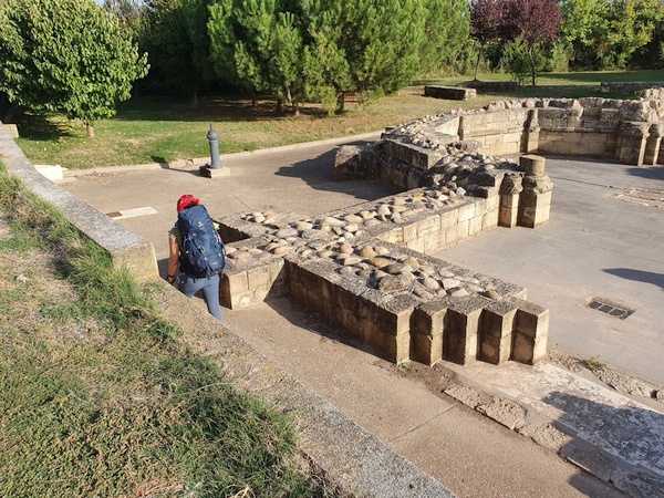
Elizabeth entering Hospital de San Juan de Acre, the ruins of a medievel hospital (?) at Navarette.
- Photographer: Claus Nedergaard Jacobsen
- Date Taken: 2019:10:13 17:33:25
- GPS Location: 42.4349045N, -2.5510613E

Fabrizio entering Hospital de San Juan de Acre, the ruins of a medievel hospital (?) at Navarette.
- Photographer: Claus Nedergaard Jacobsen
- Date Taken: 2019:10:13 17:33:35
- GPS Location: 42.431156N, -2.5632931E

Claus at Hospital de San Juan de Acre, the ruins of a medieval hospital (?) at Navarette.
- Photographer: Elisabeth Cziep (AT)
- Date Taken: 2019:10:13 17:38:09
- GPS Location: 42.4349045N, -2.5510613E
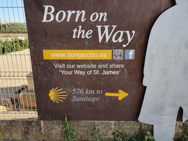
The sign of a winery next to Hospital de San Juan de Acre at Navarette.
- Photographer: Claus Nedergaard Jacobsen
- Date Taken: 2019:10:13 17:41:07
- GPS Location: 42.4346149N, -2.5516835E
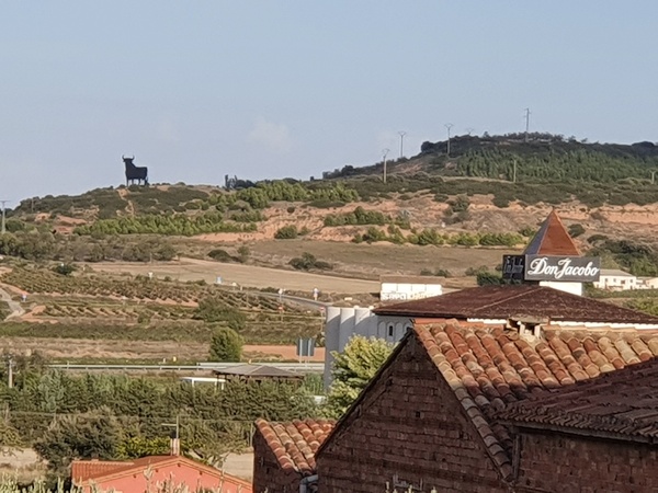
The Bull seen from another angle.
- Photographer: Claus Nedergaard Jacobsen
- Date Taken: 2019:10:13 17:54:24
- GPS Location: 42.4323961N, -2.5589175E
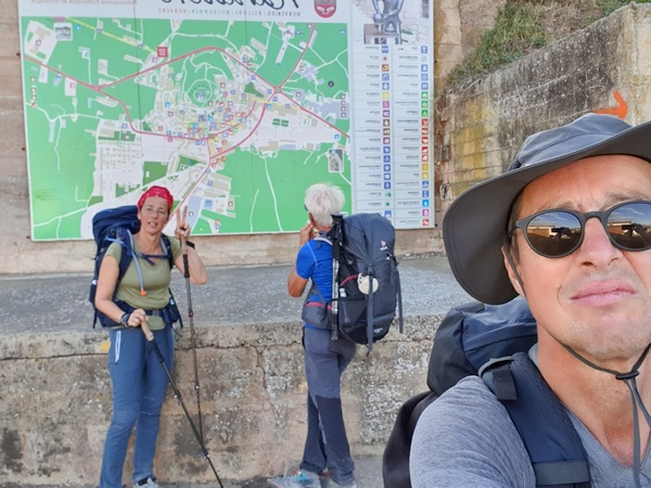
At the outskirts of Navarette close to 18:00 looking for a place to sleep - and dine
- Photographer: Claus Nedergaard Jacobsen
- Date Taken: 2019:10:13 17:54:50
- GPS Location: 42.4323961N, -2.5589175E
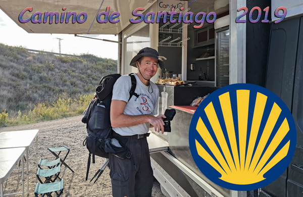
Day 7: Claus finally found coffee after at long drought.
- Photographer: Claus Nedergaard Jacobsen
- Date Taken: 2019:10:13 19:38:37
- GPS Location: 42.435021N, -2.6679517E

At 20:00. Moon is rising.
- Photographer: Claus Nedergaard Jacobsen
- Date Taken: 2019:10:13 20:03:14
- GPS Location: 42.4309081N, -2.5597113E

View of a Church from our Albergue for the night, La Casa Del Peregrino. I think this is where we almost managed to get locked out because we did not return before 20:00 hours.
- Photographer: Claus Nedergaard Jacobsen
- Date Taken: 2019:10:13 20:06:15
- GPS Location: 42.4306149N, -2.5598856E

Interior of Iglesia Nuestra Señora de la Asunción in Navarette
- Photographer: Claus Nedergaard Jacobsen
- Date Taken: 2019:10:13 20:19:32
- GPS Location: 42.4257827N, -2.556479E