Page 22 of 30
Day 20, Sunday, October 27

Day 20: Shortly after El Acebo de San Miguel. The camino turned into solid rock. My ancles were still in pain and downhill walking was difficult
- Photographer: Claus Nedergaard Jacobsen
- Date Taken: 2019:10:27 11:18:10
- GPS Location: 42.52N, -6.45E

Beautiful autumn colours showing up shortly after El Acebo de San Miguel
- Photographer: Claus Nedergaard Jacobsen
- Date Taken: 2019:10:27 11:43:10
- GPS Location: 42.5306559N, -6.5020017E

Molinaseca ahead
- Photographer: Claus Nedergaard Jacobsen
- Date Taken: 2019:10:27 11:55:55
- GPS Location: 42.5312541N, -6.5108289E

Rocky downhill path.
- Photographer: Claus Nedergaard Jacobsen
- Date Taken: 2019:10:27 12:12:53
- GPS Location: 42.5348791N, -6.5149979E
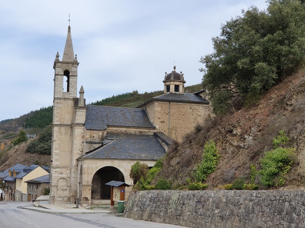
Ermita de Nuestra Señora de las Angustias in Molinaseca
- Photographer: Claus Nedergaard Jacobsen
- Date Taken: 2019:10:27 12:16:49
- GPS Location: 42.5358608N, -6.5172175E
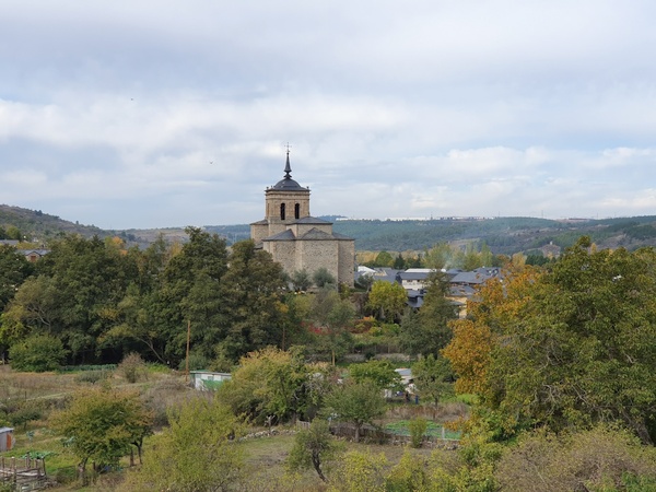
Iglesia de San Nicolás in Molinaseca
- Photographer: Claus Nedergaard Jacobsen
- Date Taken: 2019:10:27 12:16:54
- GPS Location: 42.5358608N, -6.5172175E

Iglesia de San Nicolás in Molinaseca
- Photographer: Claus Nedergaard Jacobsen
- Date Taken: 2019:10:27 12:20:07
- GPS Location: 42.5379014N, -6.518911E

Rio Meruelo in Molinaseca
- Photographer: Claus Nedergaard Jacobsen
- Date Taken: 2019:10:27 12:20:14
- GPS Location: 42.537536N, -6.5181205E

Castillo de los Templarios, Castillo de Ponferrada. This is where I got away from the Camino due to construction and had to spend hours to find it again.
- Photographer: Claus Nedergaard Jacobsen
- Date Taken: 2019:10:27 15:00:35
- GPS Location: 42.543009N, -6.5931162E
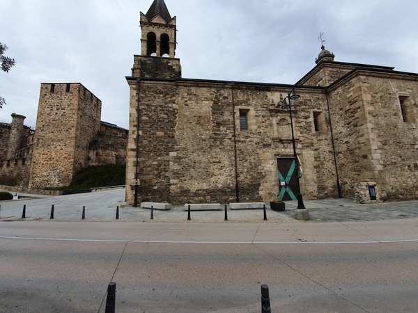
Castillo de los Templarios, Castillo de Ponferrada. This is where I got away from the Camino due to construction and had to spend hours to find it again.
- Photographer: Claus Nedergaard Jacobsen
- Date Taken: 2019:10:27 15:00:51
- GPS Location: 42.5426493N, -6.5933295E

Beautiful river called Sil in Ponferrada.
- Photographer: Claus Nedergaard Jacobsen
- Date Taken: 2019:10:27 15:13:12
- GPS Location: 42.5438454N, -6.5952122E

Castillo de los Templarios, Castillo de Ponferrada. This is where I got away from the Camino due to construction and had to spend hours to find it again.
- Photographer: Claus Nedergaard Jacobsen
- Date Taken: 2019:10:27 15:13:29
- GPS Location: 42.5432789N, -6.5946571E

River Sil in Ponferrada
- Photographer: Claus Nedergaard Jacobsen
- Date Taken: 2019:10:27 15:13:58
- GPS Location: 42.5438427N, -6.5952228E

While looking for the camino outside Ponferrada, I came across this donkey who appeared to have never seen a hiker before
- Photographer: Claus Nedergaard Jacobsen
- Date Taken: 2019:10:27 16:36:55
- GPS Location: 42.5718337N, -6.6227562E